
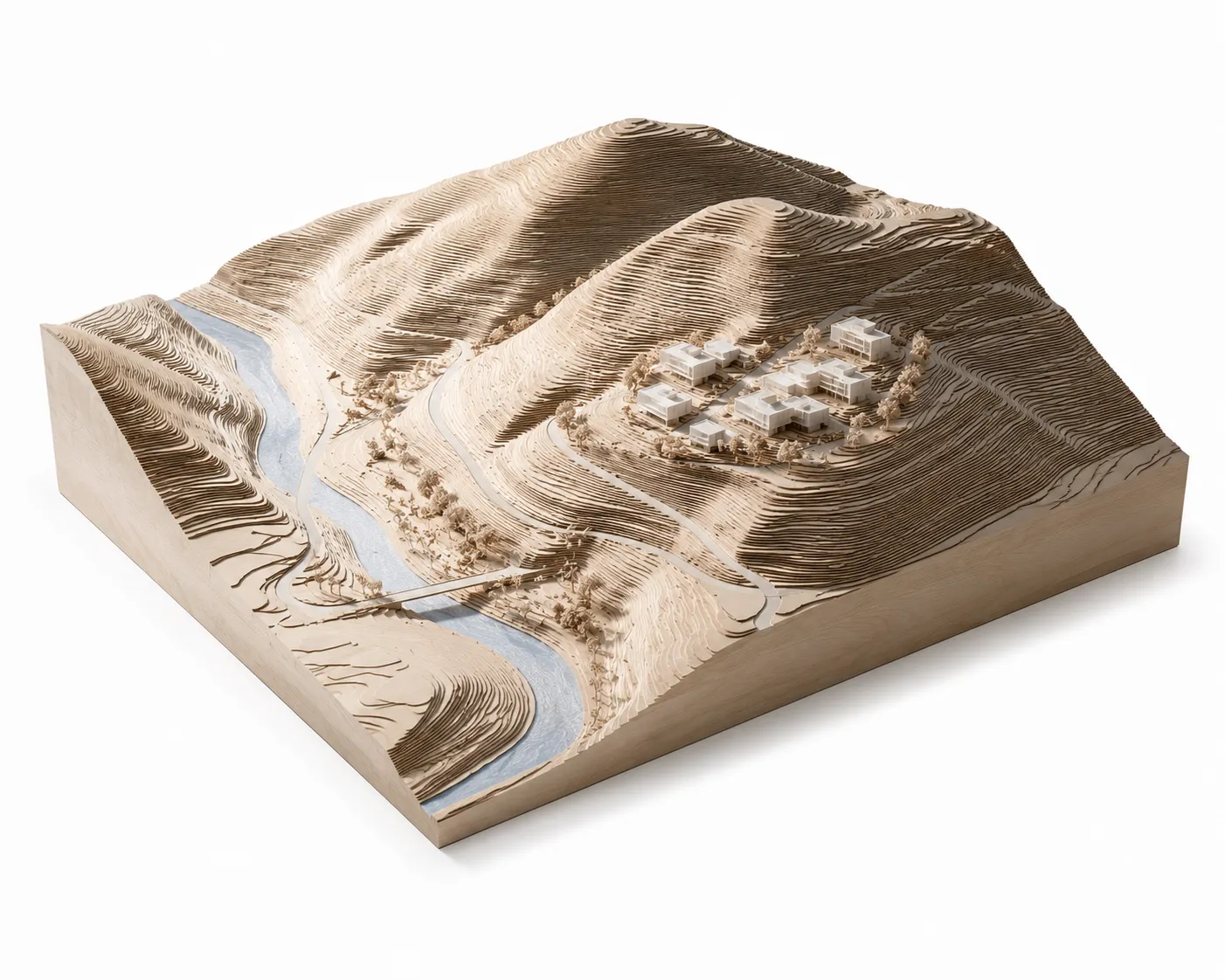
Natural terrain is among the most complex and most important spatial contexts for architecture and urban design — and it is also the context that two-dimensional drawings handle most poorly. A contour map requires specialist reading skills that most clients and many stakeholders do not possess. A topography model makes the same information immediate, intuitive, and visually compelling.
AestheticSilai’s Topography Models are produced from site survey data — contour plans, level surveys, GIS terrain data — using a combination of CNC machining and 3D printing to accurately represent the vertical dimension of a site at the model’s chosen scale.
Our topography models serve several specific purposes:
Site Analysis Models: Early-stage models produced to help designers understand and explore a challenging site — a hillside, a river valley, a coastal site — in three dimensions during the design process.
Presentation Models: Premium finished topography models for client presentations, planning applications, and public consultations, often incorporating the proposed building or development shown in context on the model landscape.
Environmental Impact Models: Highly accurate topography models used to demonstrate the visual and physical impact of proposed development on the natural landscape, typically commissioned for planning authority submissions for sensitive sites.
Landscape Architecture Models: Models produced for landscape architects showing the proposed landscape design — planting, earth modelling, water features — in relation to the existing terrain.
Our topography models range from small study pieces in white material to large premium presentation models with colour-accurate terrain surface finishes.

Reviews
There are no reviews yet.